|
|
|
|
|
Here are a few notes, in no particular order, that might be of interest to others planning to ride to Alaska like we did.
Wildlife
Hotels
Food
Tires
Weather
Other traffic Once we got on the Alcan, we saw very few passenger cars or SUVs. It was probably about 1/3 motorcycles, 1/3 trucks and 1/3 big RVs and motorhomes. Of the motorcycles, most were dual-sport bikes, then Harleys, non-GS BMWs, Gold Wings, and only a couple of sport bikes.
Geocaching
Border Crossings
Roads Conditions can change in a short time. The couple mile stretch of dirt road with no constuction crews present that we passed on the way up was 3 or 4 stretches of pilot vehicle led road repair areas that covered probably 8 or 10 miles. The road to the Northwest Territory did not have any construction when a couple of other riders we met rode it on July 2nd, but by the time we rode it on July 12th, they had started two constuction projects and we had to ride through a few miles of newly laid gravel. You learn fast to pay attention to signs about road damage. It can get pretty bumpy. Also you can tell where the worst dips are by looking at the tire skids that appear at the back edge of the dip. Probably semi tires hitting the back lip. The more tire skids the worse the dip. Slow down more for these. There are a few different types of gravel roads Dirt is the worst. When it is wet it is slick and throws a lot of mud up into the bike. My exhaust pipes looked like were coated about 1/2 inch thick with mud after one stretch. The size of the aggregate in the dirt makes for a smoother or bumpier ride. Gravel can be freshly spread in which case there is lot of loose gravel. The tires sink into it a bit and it tries to pull the bike in directions other than where you are trying to go. Travel at 40mph seems to work pretty well, except when going down steep hills in which case I needed to slow down to about 30. (Perhaps due to my inexperience more than the physics of it.) Gravel that has not been recently spread can be surprisingly easy to ride on if the aggregate is not too big. There is not much loose gravel to sink into and with small aggregate you can travel at 55mph or more. If the aggregate is large, it's a rougher ride but still not too bad. This not-recently spread gravel is susceptible to washboarding though, especially on steep hills.
Dalton highway The Restaurant at the North side of the bridge has gas despite no sign to indicate it. Give the guy at the restaurant your credit card or driver's license and you can fill up at the pump about 50 yards north of the restaurant by the maintenance shed. After the Yukon River, most of the gravel was in very good condition and we rode 55-60 on a lot of it. Of course, you still have to watch for washboarding on steep slopes and there were a few bad spots as well. It then turned to asphalt that wasn't too bad except for the frost heave damaged areas. Some of the repairs were done with freshly spread large aggregate gravel which meant slow going. The road from the Yukon to the Arctic Circle was generally better than the road from Livengood to the Yukon. I preferred the good gravel to the asphalt because I could maintain a pretty steady speed whereas the asphalt was an exercise in concentrating on the road surface for damage and heaves and needing to slow down and speed up almost constantly.
Bike Problems Brake Failure light went on. We got dirt on the rear brake switch which lit the "Brake Failure" light until it was cleaned. General trouble light. This trouble light came on once on the second day. Didn't notice it for quite a few miles, but a restart cleared it. Came on at a gas stop on the way to Saskatoon and would not go out despite repeated restarts. Bike seemed to run fine though. Met a fellow rider with a K1200RS at a gas and breakfast stop the next morning. I asked if he knew what the light meant. He got his owner's manual and while the model was not the same, it indicated the problem might be a brake light. After breakfast we checked the lights and they all seemed to work. Did a Google search after we checked into that night's hotel and found that the bike compensates for a blown bulb by using the other bulb to indicate braking somehow. We checked the bulb and it was blown. Went to the local auto parts store and got a bulb which fixed the problem.
|
|
|
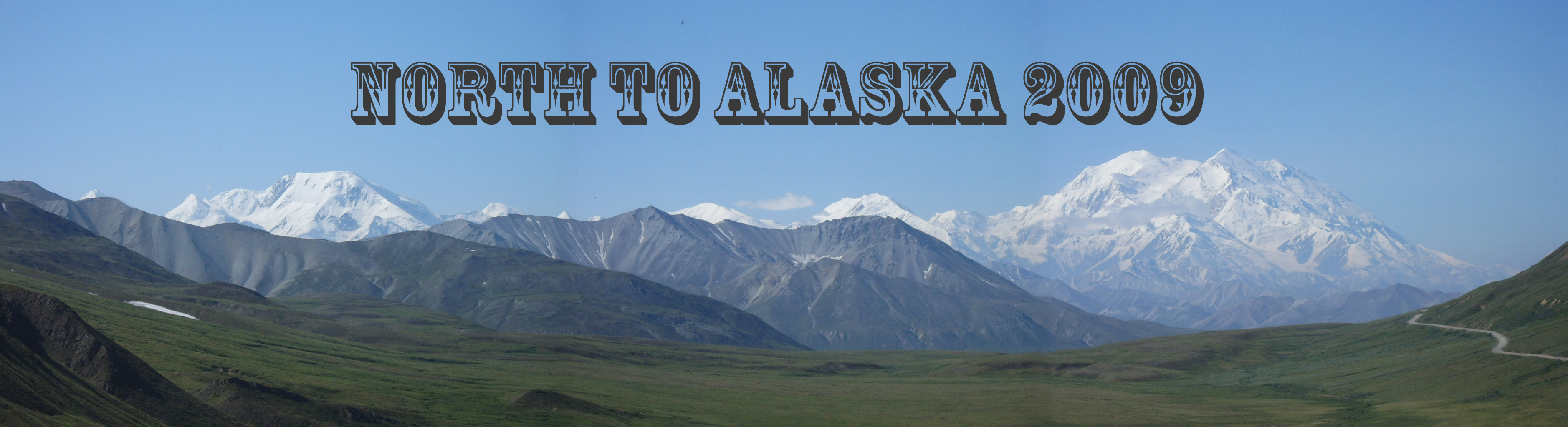
Follow the links below for more pictures and narrative of our trip Intro page for our Alaskan trip Fairbanks and the Arctic Circle Anchorage and the Kenai Peninsula
Click here to return to the ORAVECS.COM website. |